Panorama Video, Drone Flight and Landscape Sketch
A final, third visit took place on April 24. Instead of taking panoramic pictures, a panoramic video was recorded while cycling from the north side of the study area to the south. This video provides a good view of the various landscapes found in the study area.
Additionally, to gain a different perspective on the landscape, four drone flights were performed using a C0-class drone weighing less than 250 g. Three flights were taken with a camera angle of -10 to -20 degrees, providing a large coverage area per picture while minimising the amount of sky visible in the photos. They were flown at an altitude of 30-50 m above takeoff level to capture as much ground detail as possible while staying clear of treetops.
The fourth flight was taken with a -75 degree angle, closer to nadir. A grid pattern was flown, allowing the reconstruction of an orthophoto and a point cloud of a transect of the study area. This flight was flown at 80 m above ground level, resulting in an orthophoto ground sampling distance of around 3 cm per pixel.
All flights were flown automatically, and the flight paths were programmed ahead of time. Pictures were automatically captured at a three-second interval. The planned flight areas were checked against the Droneguide geozone map before takeoff. Care was taken to remain outside the EBBR VLL2 geozone of Brussels Zaventem Airport, and the drone was kept in sight at all times to comply with the EU’s Open A1 flight regulations (Federale Overheidsdienst Mobiliteit en Vervoer, 2026).
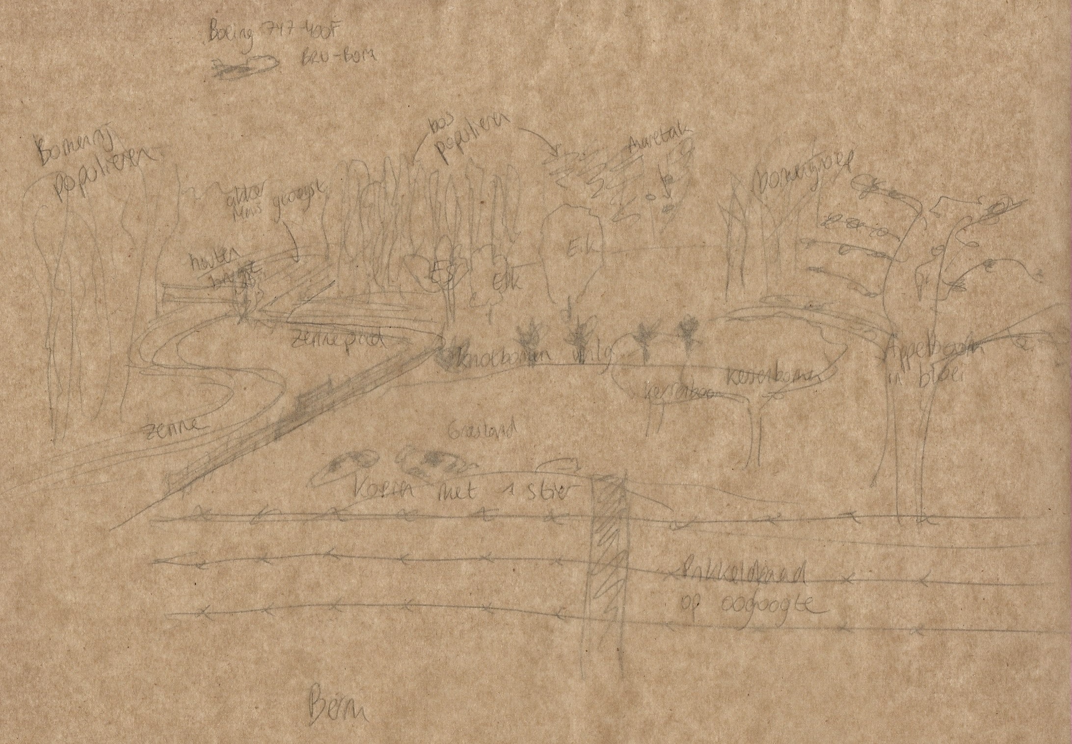
During that same visit, a hand-drawn landscape sketch was also made. The landscape sketch allows time to capture and experience the landscape without digitalisation. Notes were made on top of the sketch using baking paper, as it is translucent enough to allow the underlying sketch to show through.