Bordering Brussels: The Zenne Valley Landscape in Beersel
Author: Charles-Axel Pauwels · Supervisors: Prof. Dr. Veerle Van Eetvelde and MSc. Seppe De Wit
Abstract
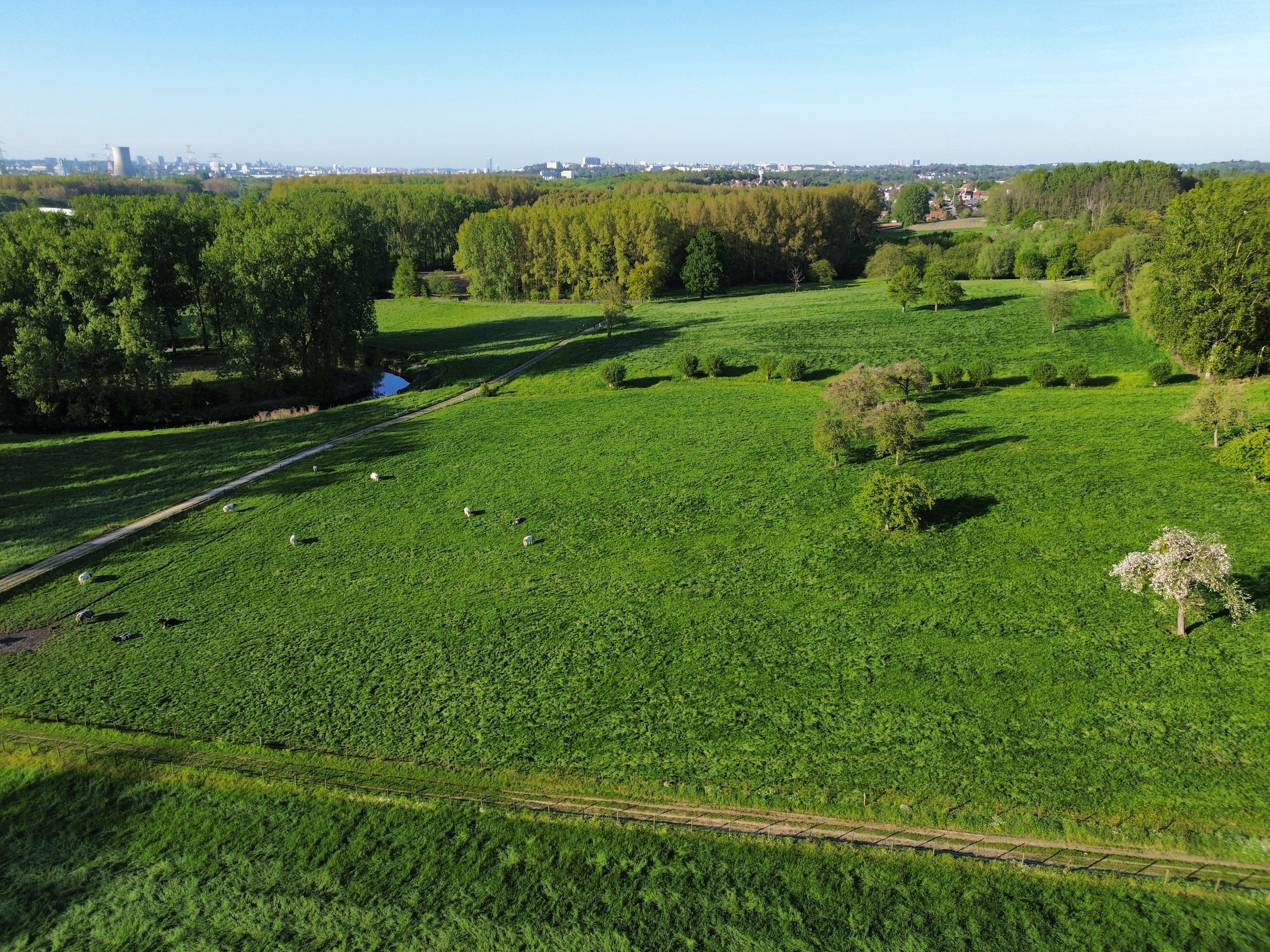
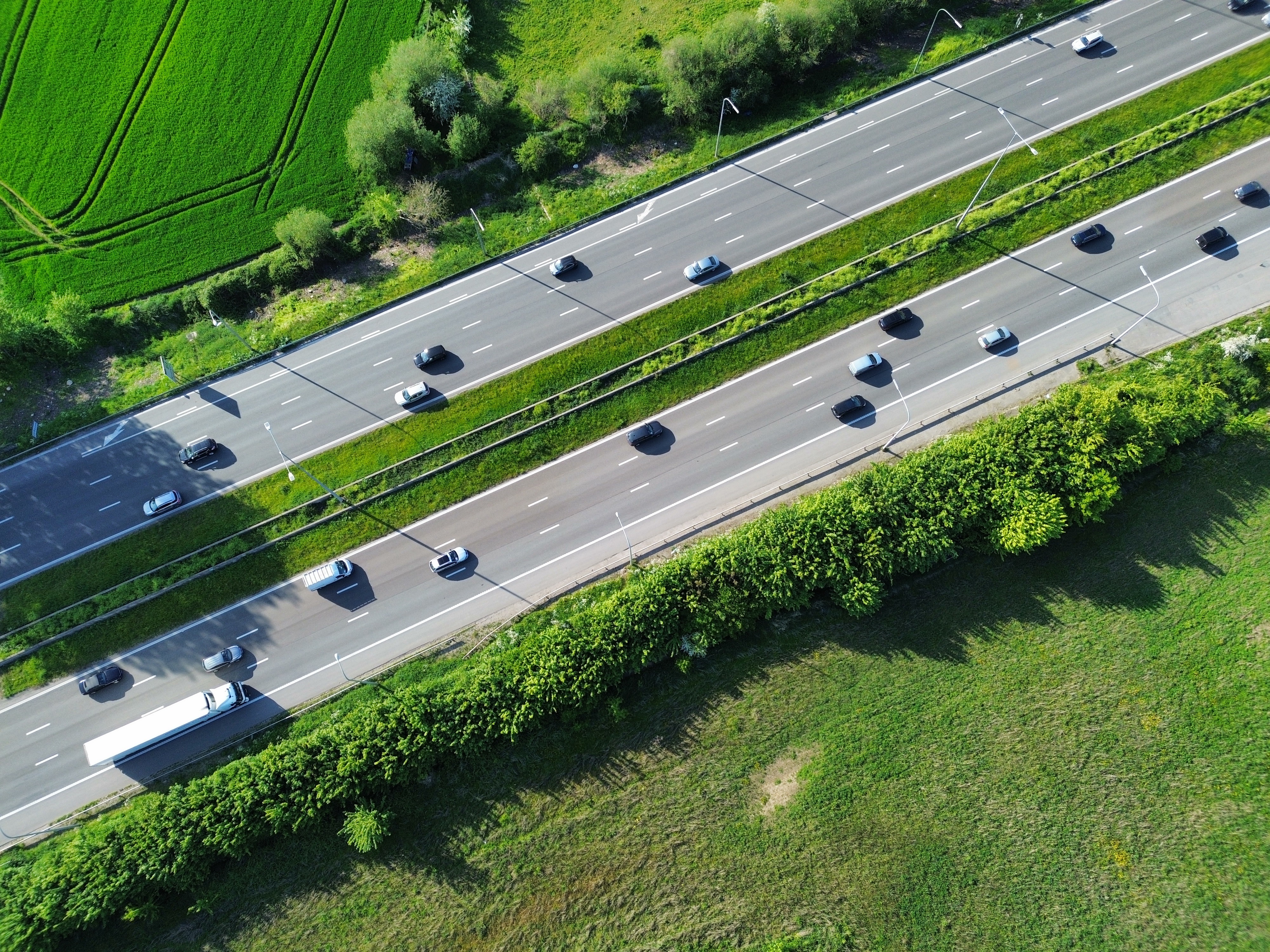
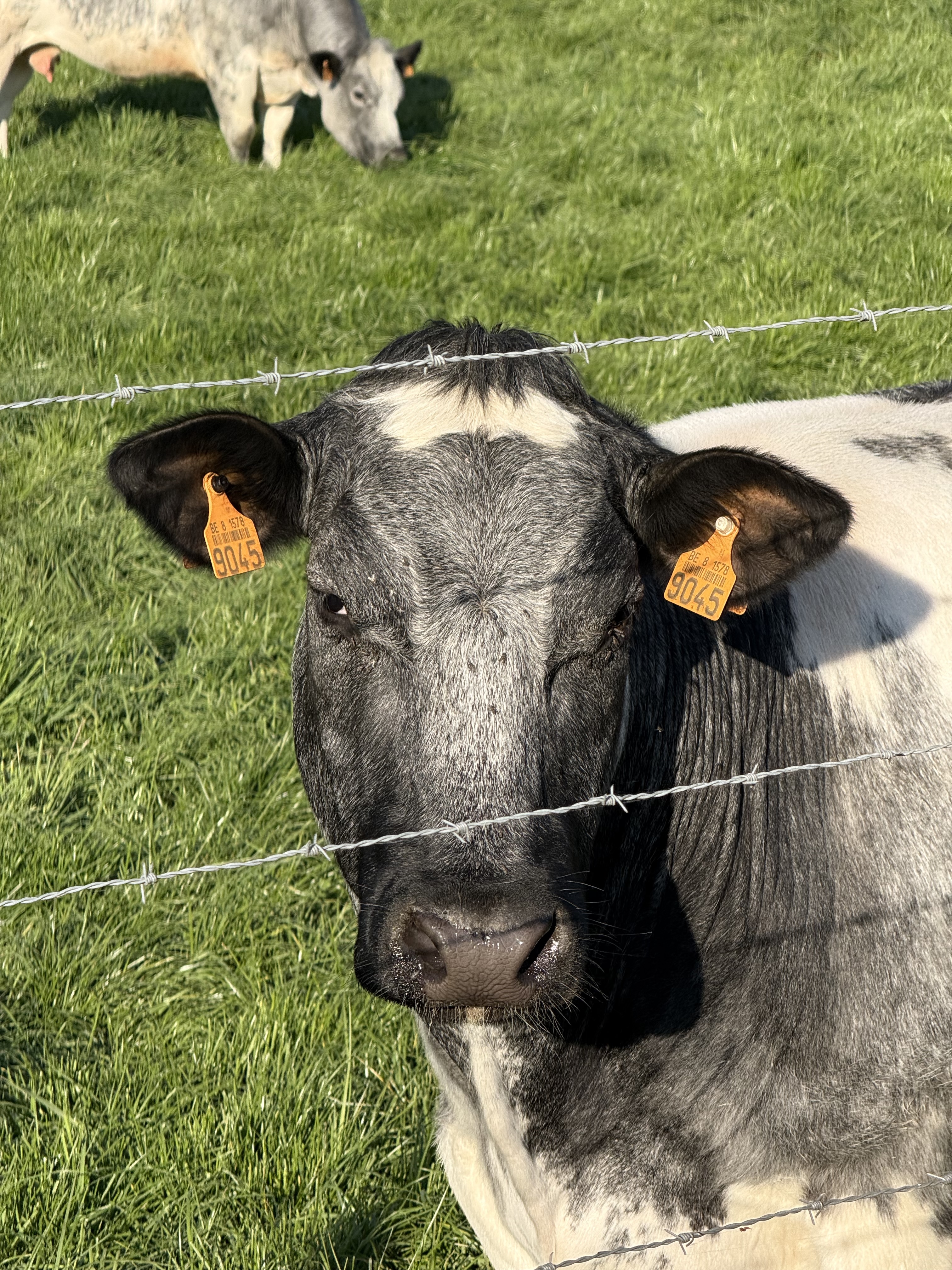
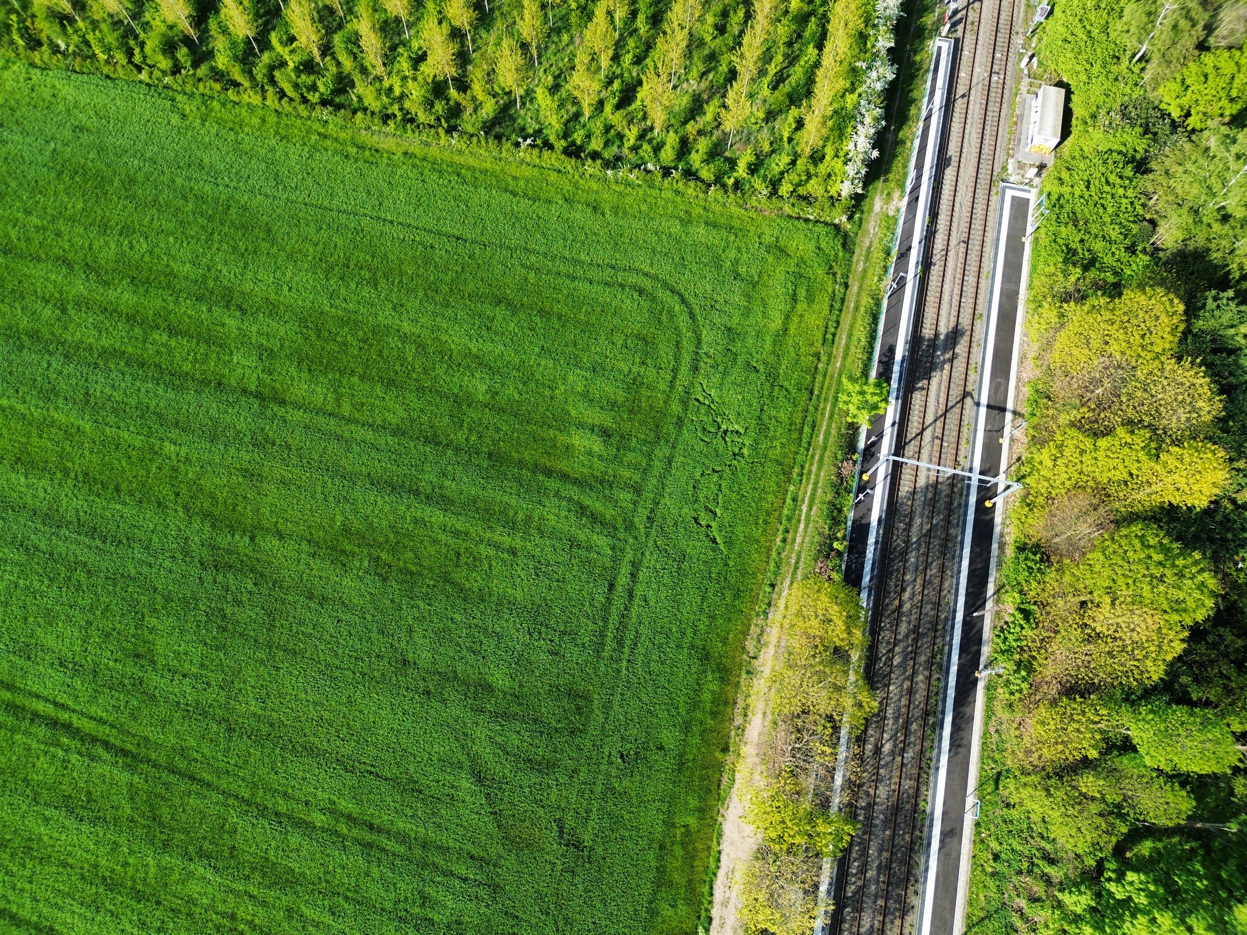
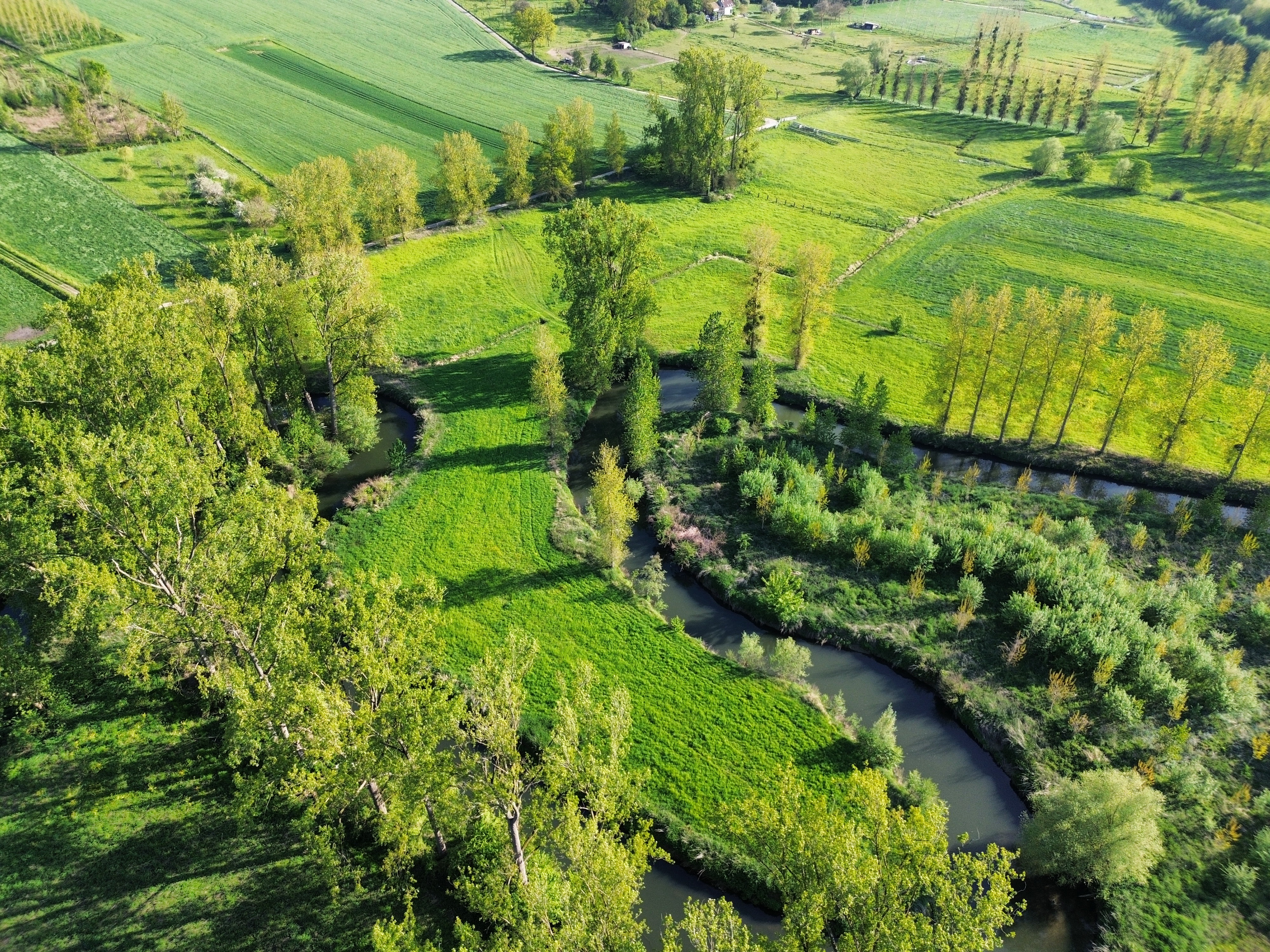
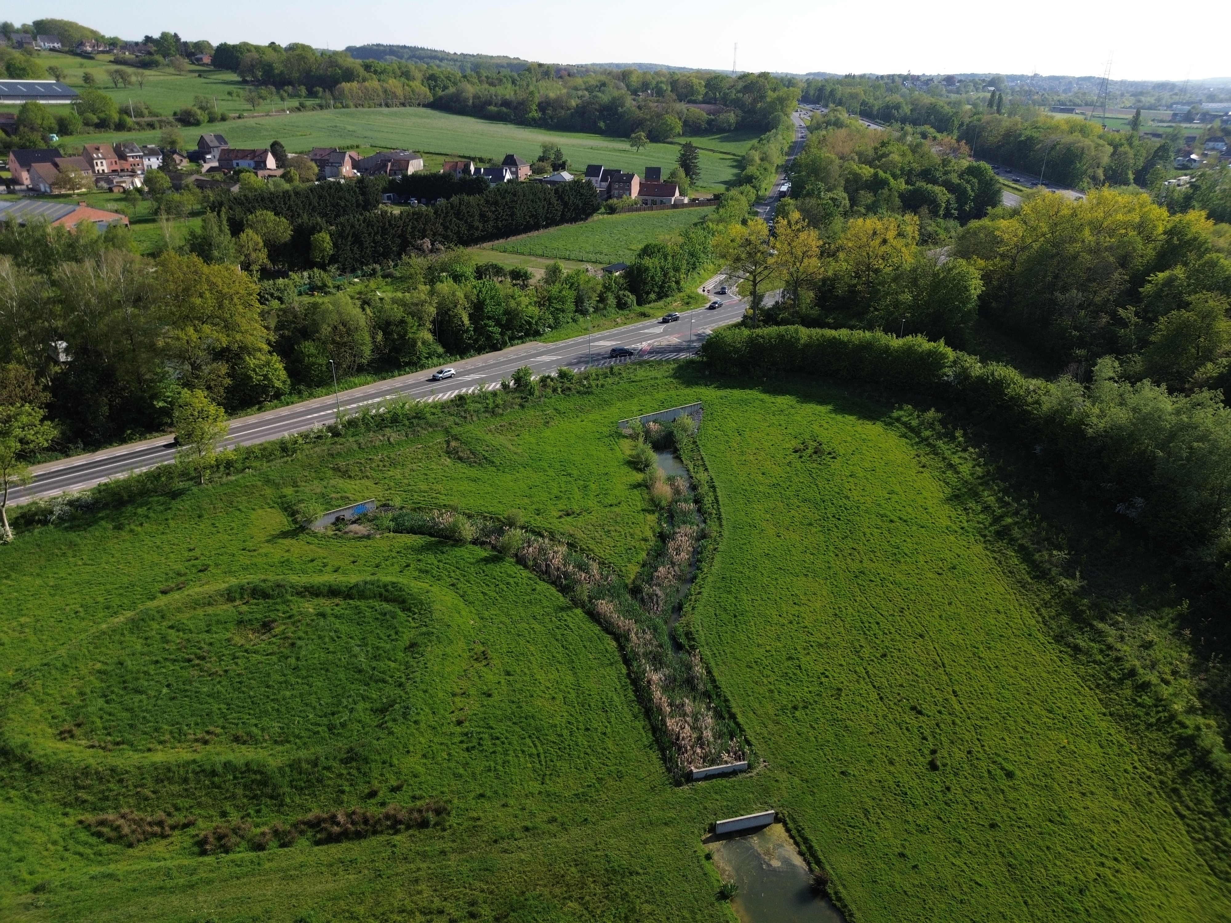
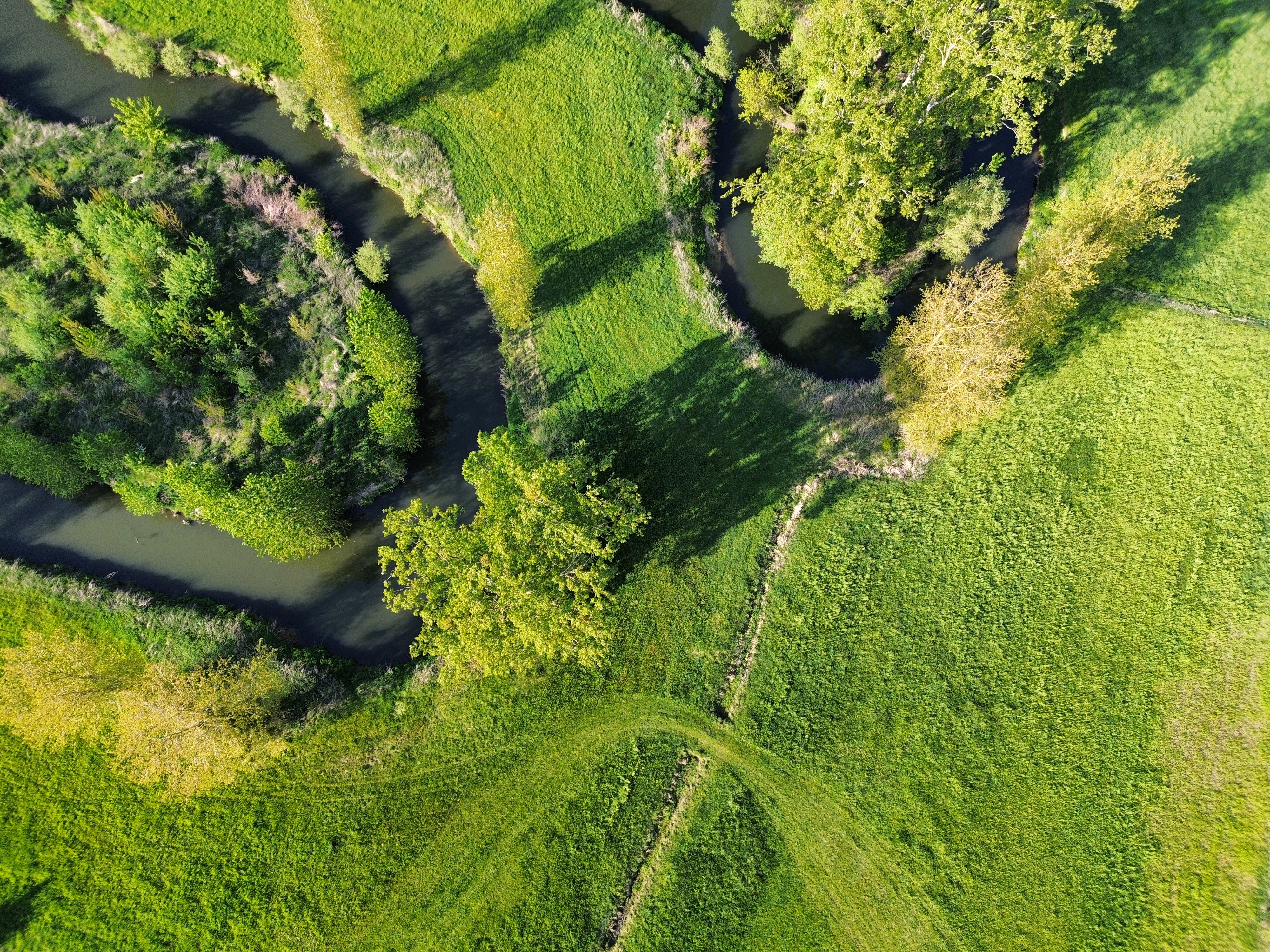
This report presents a small-scale landscape analysis of a 1.07 km2 study area in Beersel, south of Brussels. The area is located within Brabantse Wouden National Park and combines the Zenne valley, low-lying pastures, croplands, forest patches, private properties and strong infrastructure boundaries. The analysis is based on repeated field visits, panoramic imagery, drone imagery, desktop-based field mapping and thematic cartography. Four landscape themes were mapped: orohydrography, land use, infrastructure and small landscape elements. These maps were used to distinguish three landscape types: the Hills, the Pastures and the Zenne. The vertical relationships were explored through a chi-square analysis of soil texture and land use, and a Jaccard similarity measure comparing altitude and residential land use. The chi-square test could not be interpreted because the expected frequency requirements were not met. The Jaccard analysis showed a strong association between low altitude and non-residential land use. A transect through the study area was used to discuss horizontal relationships between infrastructure, the Zenne valley, pastures and the higher ground near Beersel station. Together, the results show a varied landscape in which relief, hydrology, land use, small landscape elements and infrastructure interact at a very small scale.
Keywords
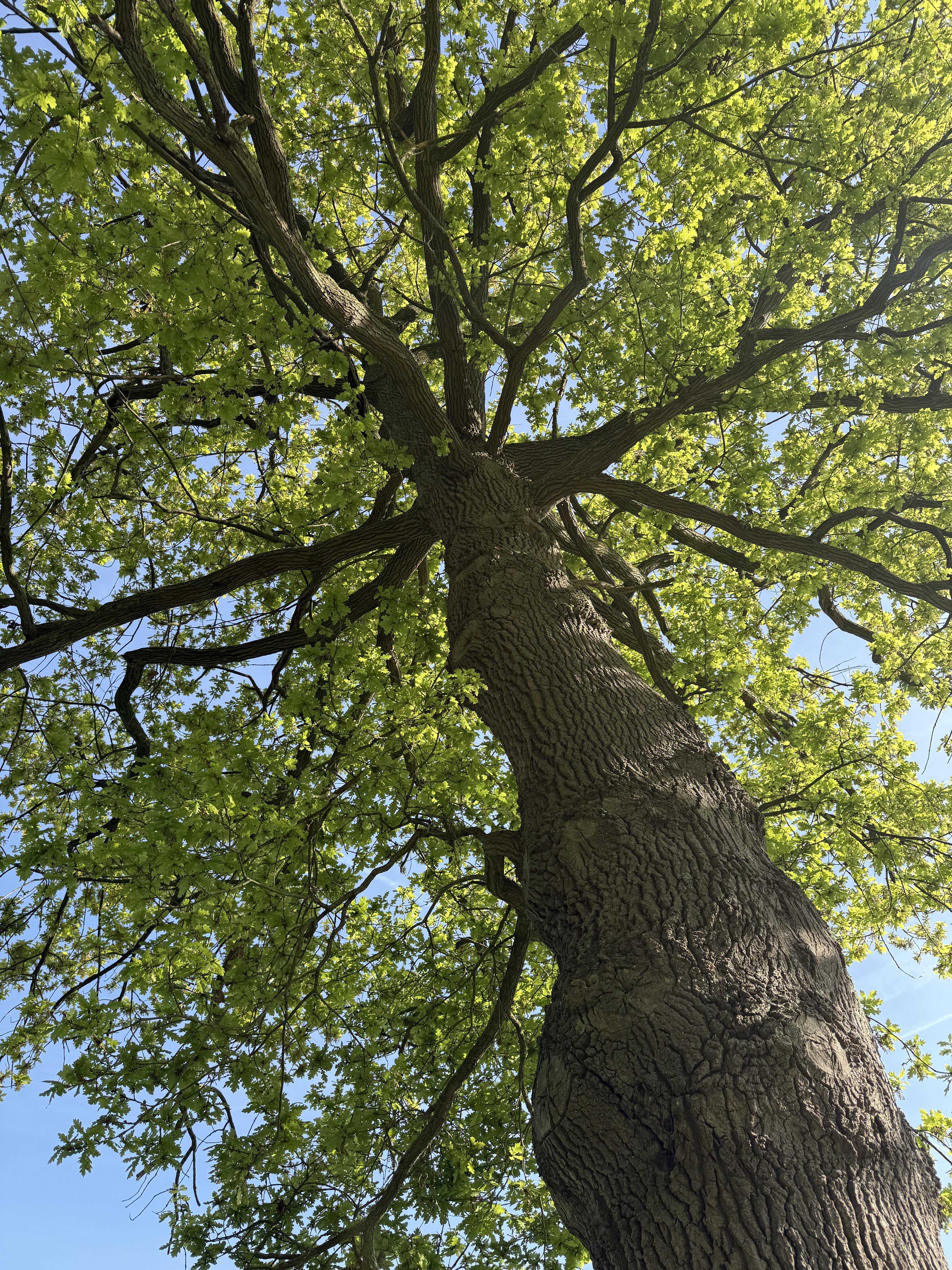
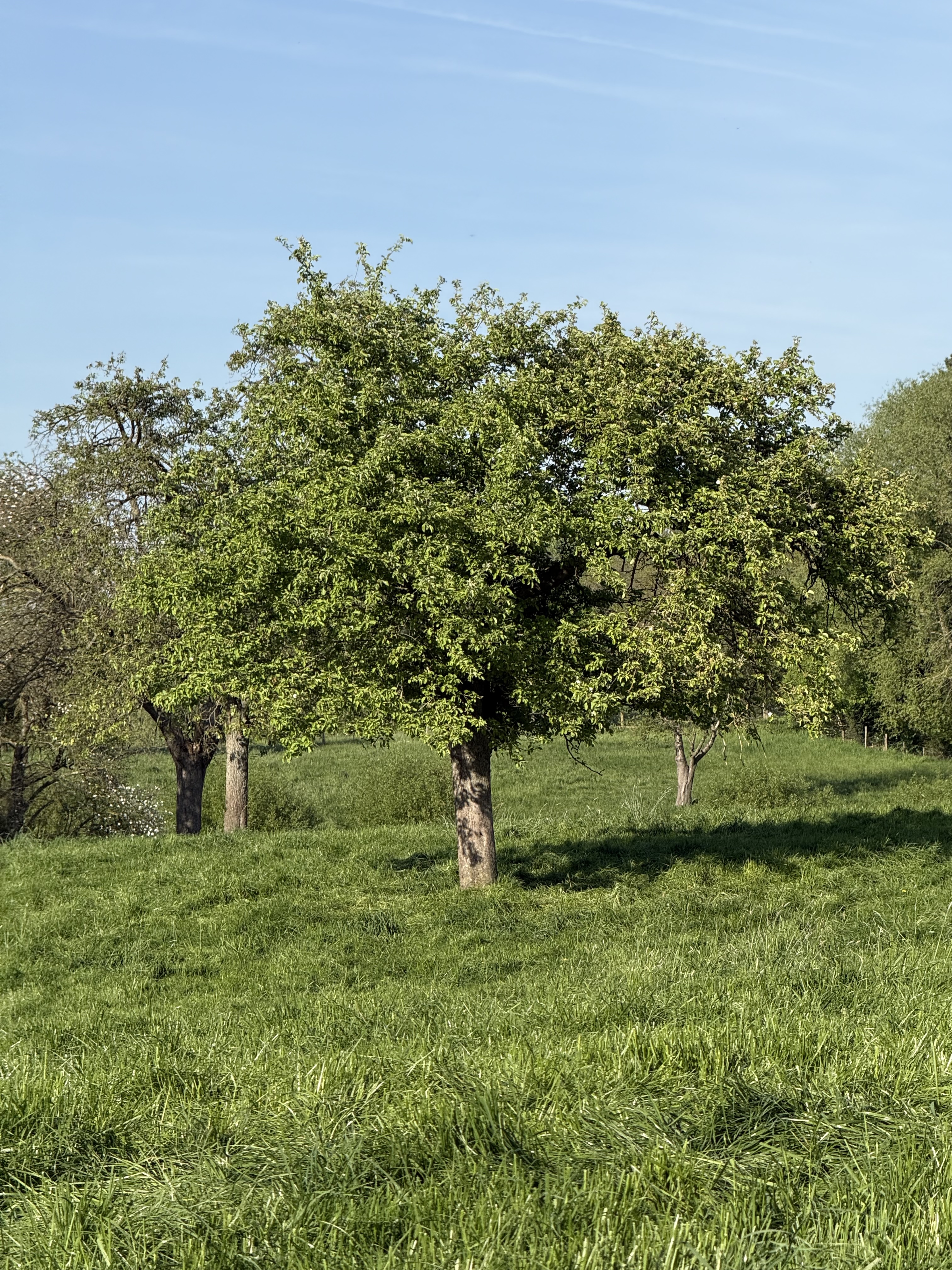
Landscape analysis; Zenne valley; Field mapping; 360-degree photography; Small landscape elements.