Landscape Types
Three distinguishable landscape types can be found within the study area. They have been named as follows: the Hills, the Pastures and the Zenne.
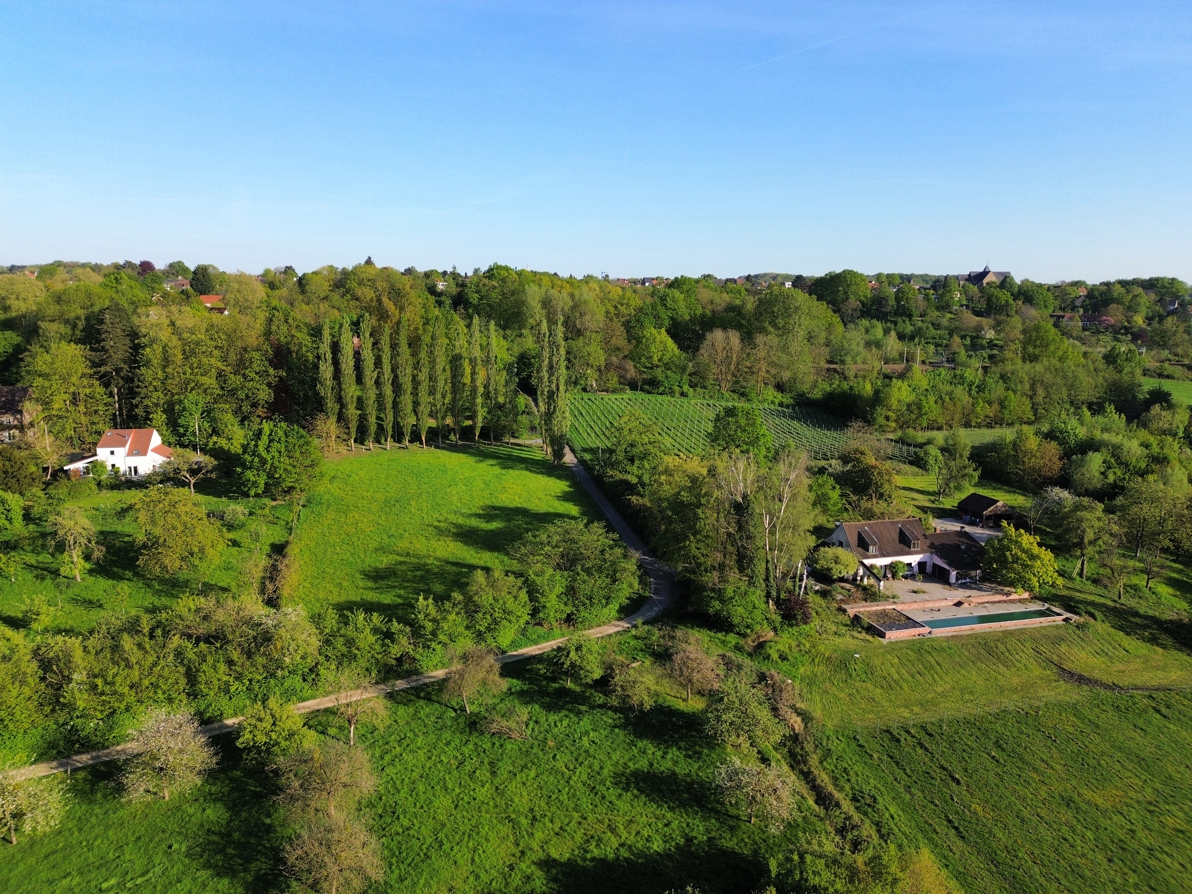
The Hills
The Hills is the landscape type to the east of the study area. It is located at a higher altitude and features views of the Zenne valley below. This makes it a prime location for residences, which is also visible on the land use thematic map. Many of the orchards seem to be privately owned, and the pastures are inhabited by horses, which are often used for recreational purposes. This is also the location of Beersel train station, with Beersel town centre a short walk away. Overall, the landscape is relatively closed, with hedges blocking views into gardens.
The Pastures
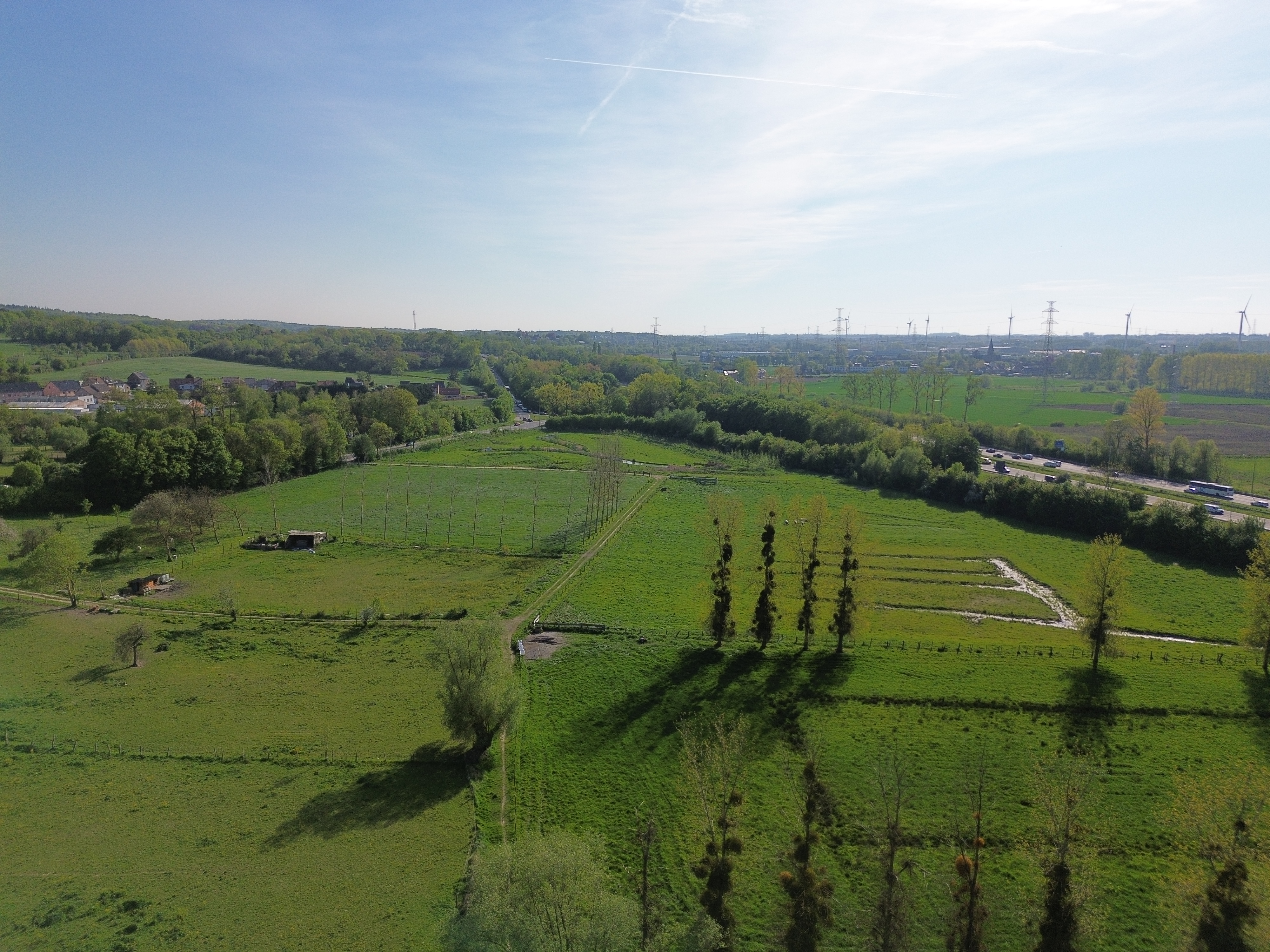
The Pastures are the low-lying wetlands. Hydrological engineering has been carried out to try to dry up the floodplains, with ditches and brooks evacuating the water towards the Zenne. This is also the location of the recently built water buffer zone. In winter, this landscape features grass and a few straight poplar tree rows. Solitary trees dot the landscape. Cows and horses use the landscape for grazing. This landscape is visually very open, with long sight lines, but the omnipresent barbed wire fencing makes it feel much more confined than it is.
Sound plays an important part in this landscape. Due to the limited number of trees, the droning noise from the highway is permanent, loud and disturbing. Although no visit was conducted at night, the glow of the highway lighting is likely to affect the nocturnal experience of this landscape as well.
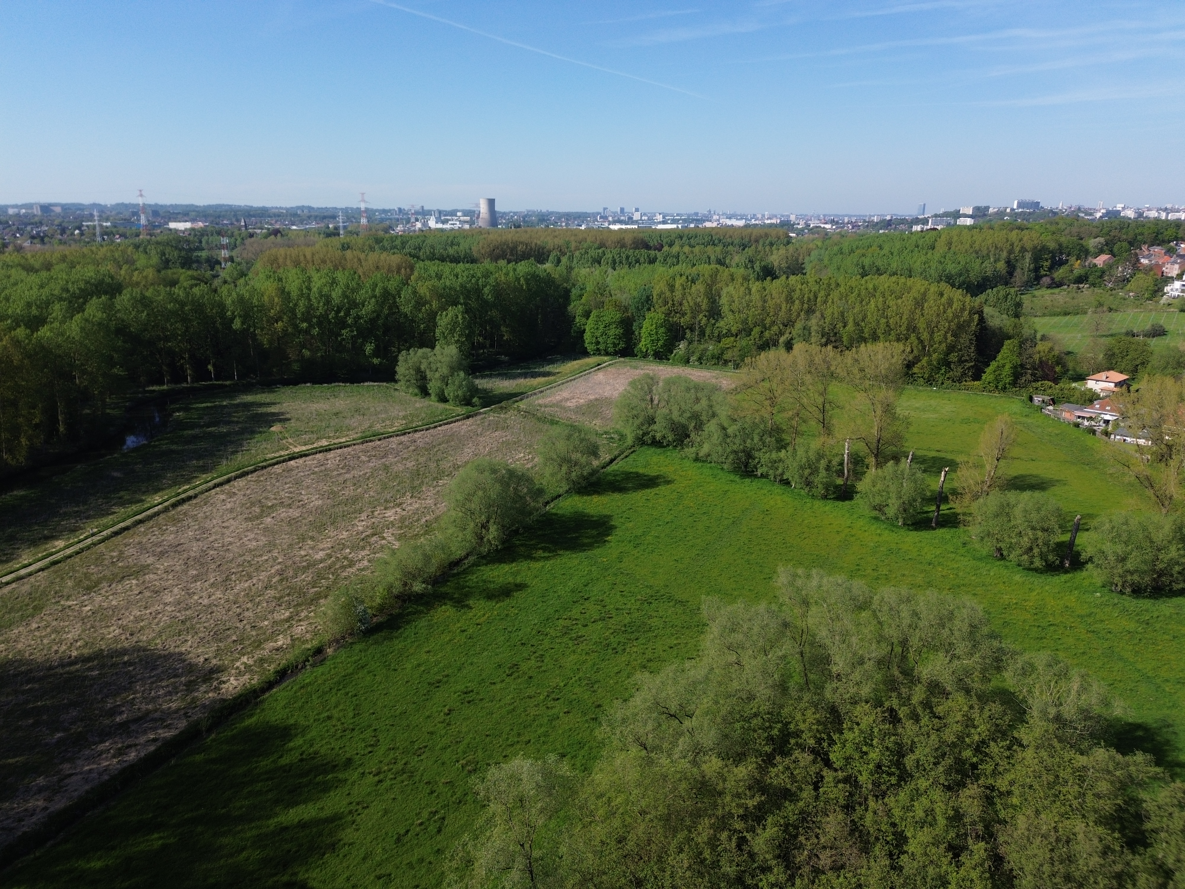
The Zenne
This is the most varied landscape type found in the study area. Woodlands, croplands and pastures alternate, and the whole area is easily navigable on foot or by bike thanks to the Zennepad running through the centre of the landscape. The Zenne is also a major feature, undulating its way through the area.
The sight lines are also more interrupted. The poplar tree rows along the Zenne are an example of a screen that limits sight distance. Overall, however, the area does not feel confined. Most of the fields are accessible, and with the exception of a short stretch of the former Catala wood plantation, no path or road is enclosed on both sides. Despite being close to the highway, the noise is kept in check by the tree rows and forests.