Horizontal Relationships
After examining the vertical relationships of the landscape, the horizontal relationships can also be considered. A transect of the study area was drawn, crossing all three landscape types found in the study area. The transect starts at the bridge crossing the E19/R0 highway and ends at Beersel train station. It crosses the Zenne landscape, the Pastures and the Hills.
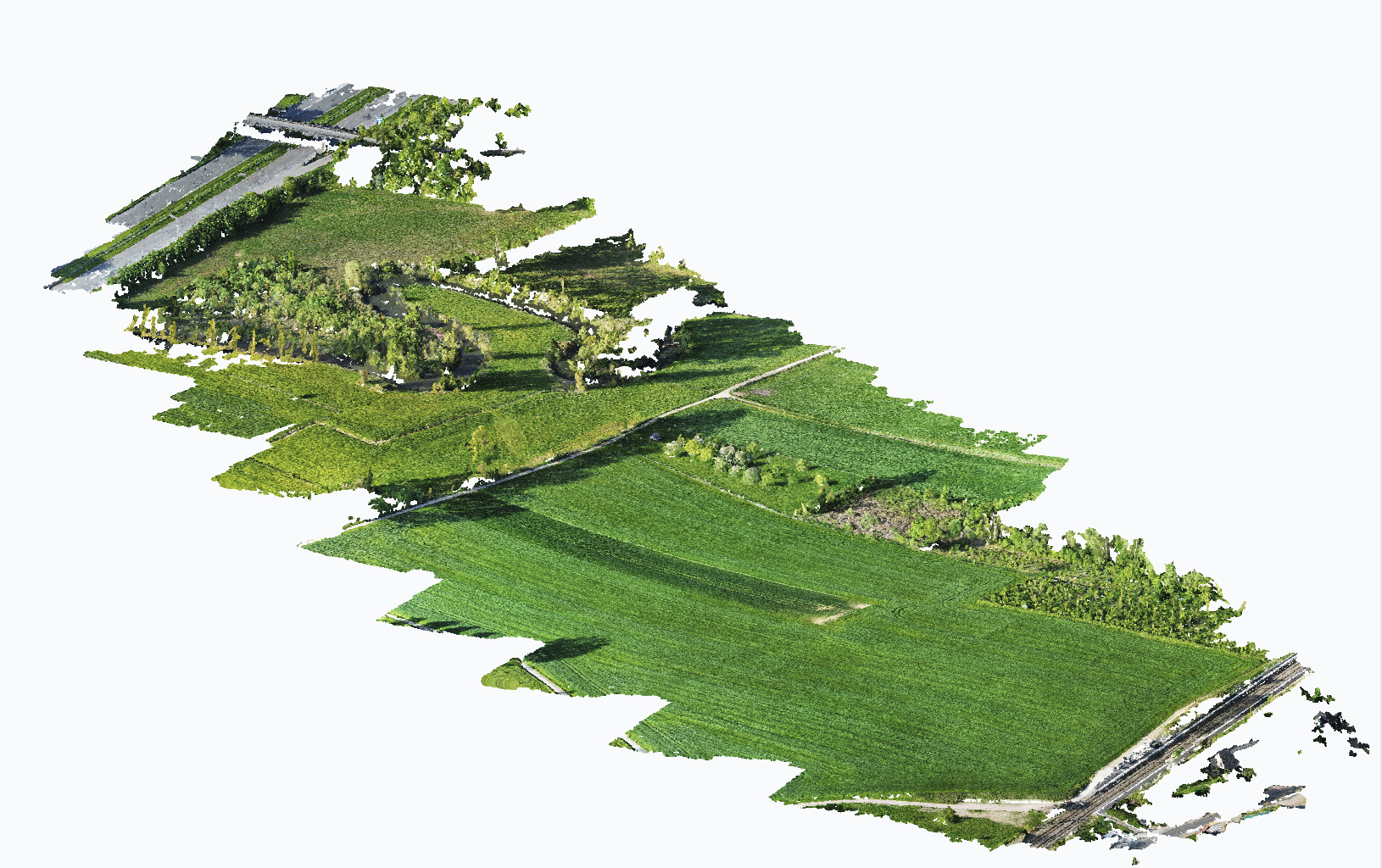
Starting from the highway, traces of human terrain creation can be seen in the high embankment and the even higher embankment for the bridge across the highway. From there until the river, there is an area of cropland and wild growth. The riverbank itself has a row of poplar trees along its meandering shape, which marks the end of the Zenne landscape type. Crossing the Zenne River, the transect enters flat terrain with pastures and open sight lines. A ditch can be seen before reaching the Zennepad, the path that crosses the Pastures landscape lengthwise. On the other side of the path, the terrain steadily rises from an altitude of 25-30 m in the pastures to 58 m at the train station. The climb up to the Hills passes through the largest crop field of the study area. While this section of the Hills features no private properties or residential use, the area outside the study area directly behind the tracks is residential.